| logs:
Arizona, Summer 2003 |
||||||
|
|
||||||
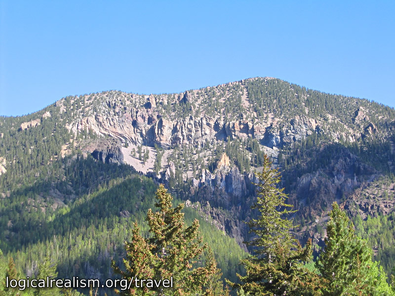
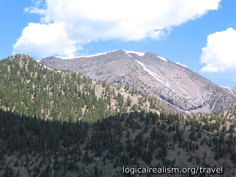
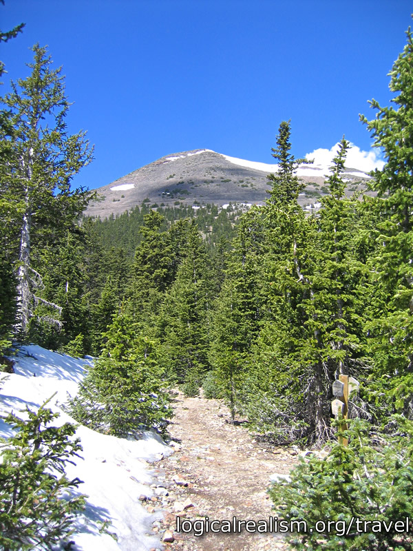
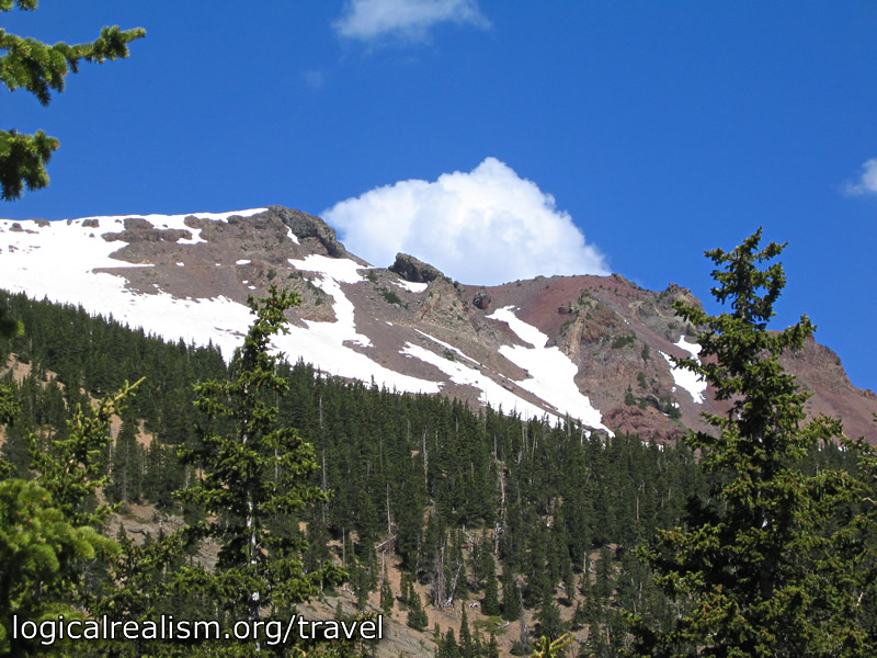
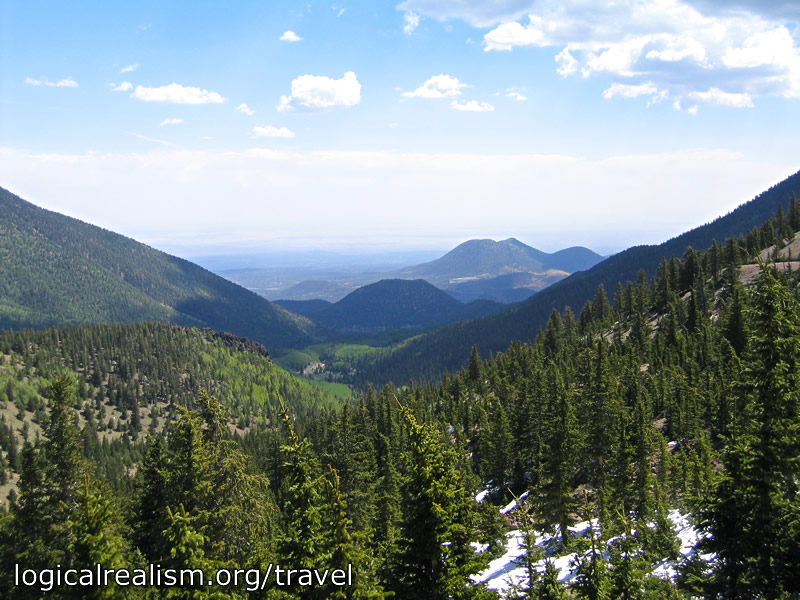
Inner Basin HikeCoconino National Forest :: Kachina Peaks / San Francisco MountainsThis was another hike I learned about through Tom Dollar's Arizona's Wilderness Areas. The inner basin is, as the name suggests, basically a small valley -- actually an ancient caldera -- surrounded by the high peaks of the San Francisco Mountains (one of which, Humphrey's, is the highest in Arizona). The trailhead is reached by driving north on US 89 from Flagstaff. Just north of the turnout for Sunset Crater is a left-hand turnout for Forest Route 552. The trail begins about a mile up FR 552 in Lockett Meadow. There are numerous campsites along FR 552. The hike into the basin is reasonably short, an easy 2.0 miles and only 800' of elevation change each way. From the basin it is possible to continue up onto the ridge connecting Agassiz (12,356 feet) and Freemont (11,969 feet) Peaks. I had hoped to make it up to Agassiz. After being slowed by still-deep snow patches on the path up toward the ridge, I decided that, after a leisurely lunch near where the Inner Basin trail meets the Weatherford trail, I would turn back rather than risking afternoon thunderstorms.
Additional Resources:
Back to Contents |
||||||
| Contact | |
|||||